What Is Vegetation Mapping?
Vegetation mapping is the process of identifying, categorizing, and visualizing plant life in a specific area. This technique uses satellite imagery, aerial drone surveys, and GIS (Geographic Information Systems) to create detailed maps that show the distribution and types of vegetation. Whether it’s for forest management, agriculture, or urban development, vegetation mapping plays a vital role in understanding and protecting our environment.
Why Vegetation Mapping Matters
Vegetation maps are essential for:
-
Environmental Monitoring: Tracking changes in vegetation over time helps identify deforestation, land degradation, or habitat loss.
-
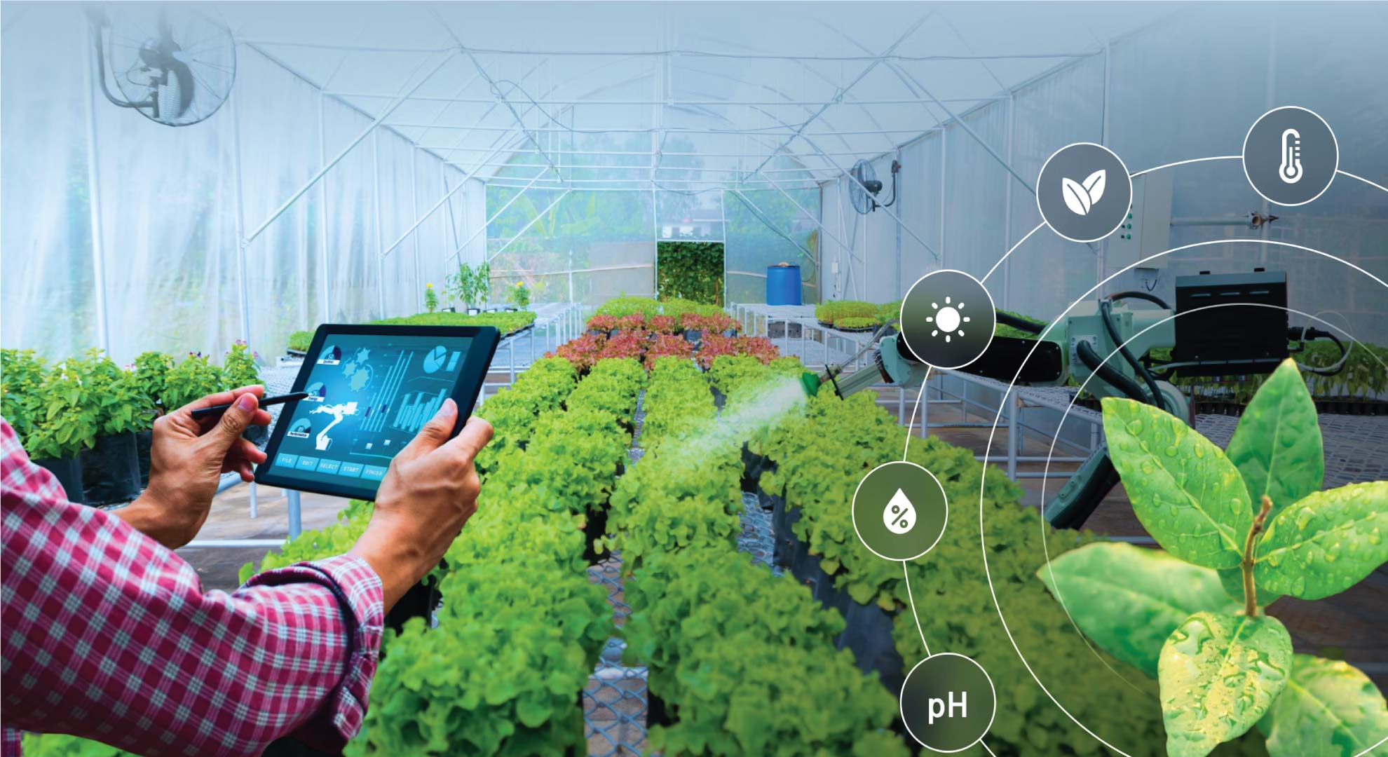
Agriculture: Farmers use vegetation maps to assess crop health, plan irrigation, and manage soil fertility.
-
Land Use Planning: Urban developers and governments rely on vegetation maps to plan sustainable infrastructure with minimal environmental impact.
-
Wildlife Conservation: Vegetation data helps determine habitats for endangered species and manage conservation efforts.
-
Disaster Management: Vegetation maps can aid in wildfire risk assessment, flood planning, and post-disaster recovery.
Tools and Technologies Used in Vegetation Mapping
Modern vegetation mapping relies on cutting-edge tools such as:
-
Drones (UAVs): Offer high-resolution aerial imagery ideal for small to medium-scale projects.
-
Satellite Imagery: Provides large-scale and frequent coverage for tracking vegetation changes over time.
-
Remote Sensing: Uses spectral data (such as NDVI – Normalized Difference Vegetation Index) to analyze plant health.
-
GIS Software: Helps process, analyze, and visualize vegetation data for actionable insights.
Drone-Based Vegetation Mapping: The Future Is Here
Drone technology has revolutionized vegetation mapping by offering:
-
Cost-effective surveys
-
High-resolution imagery
-
Rapid data collection and processing
-
Real-time monitoring
With drones, environmental consultants and landowners can make faster, data-driven decisions without waiting weeks for satellite imagery or conducting manual field surveys.
Vegetation Mapping for Environmental Compliance
Vegetation mapping is also critical in environmental inspections and compliance reporting. Whether it’s for mining, construction, or agriculture, companies must often submit vegetation reports to comply with local environmental regulations. High-accuracy mapping helps in:
-
Identifying protected plant species
-
Ensuring buffer zones are respected
-
Monitoring ecological restoration efforts
Get Professional Vegetation Mapping Services
At [Your Company Name], we provide expert vegetation mapping services using advanced drones and remote sensing technologies. Our team of environmental professionals delivers precise data to support sustainable development, conservation, and regulatory compliance.
Our services include:
-
Drone-based aerial vegetation surveys
-
NDVI analysis and plant health monitoring
-
GIS vegetation mapping and reporting
-
Environmental impact assessments