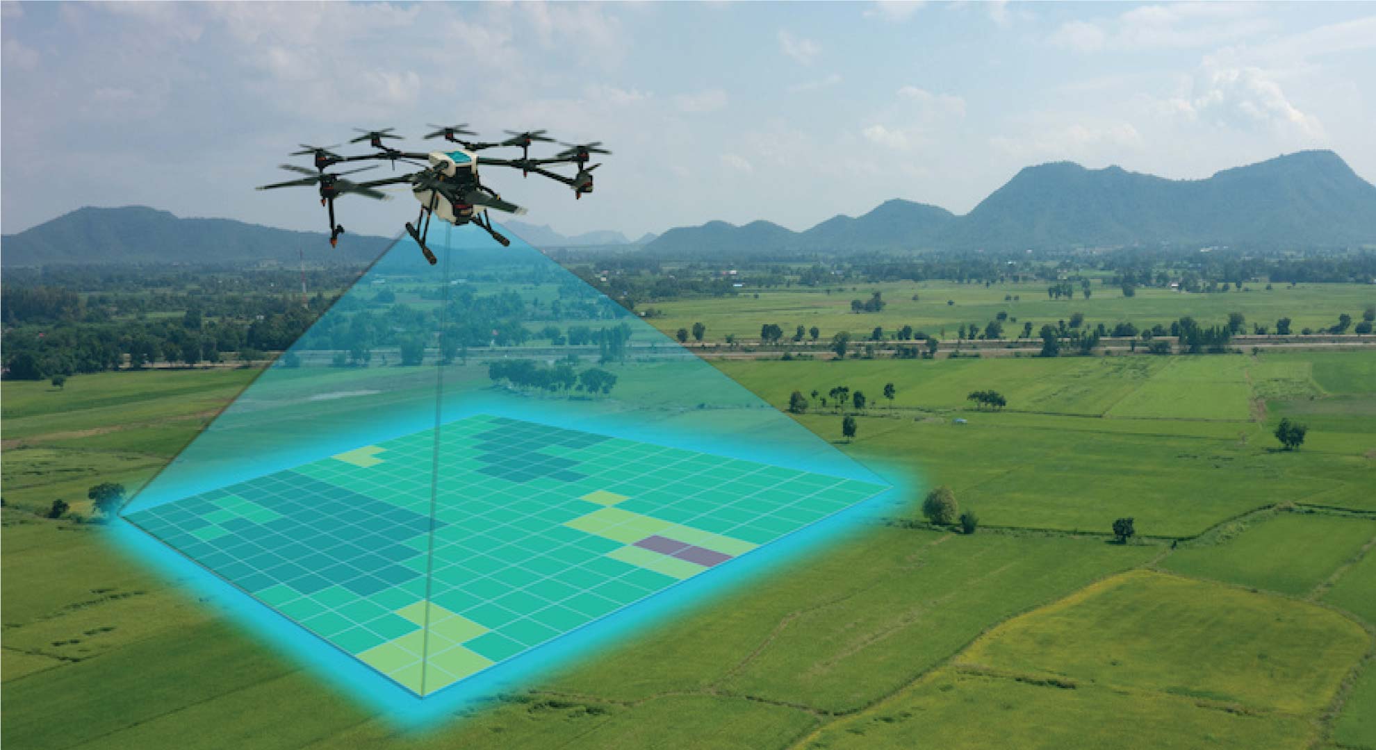
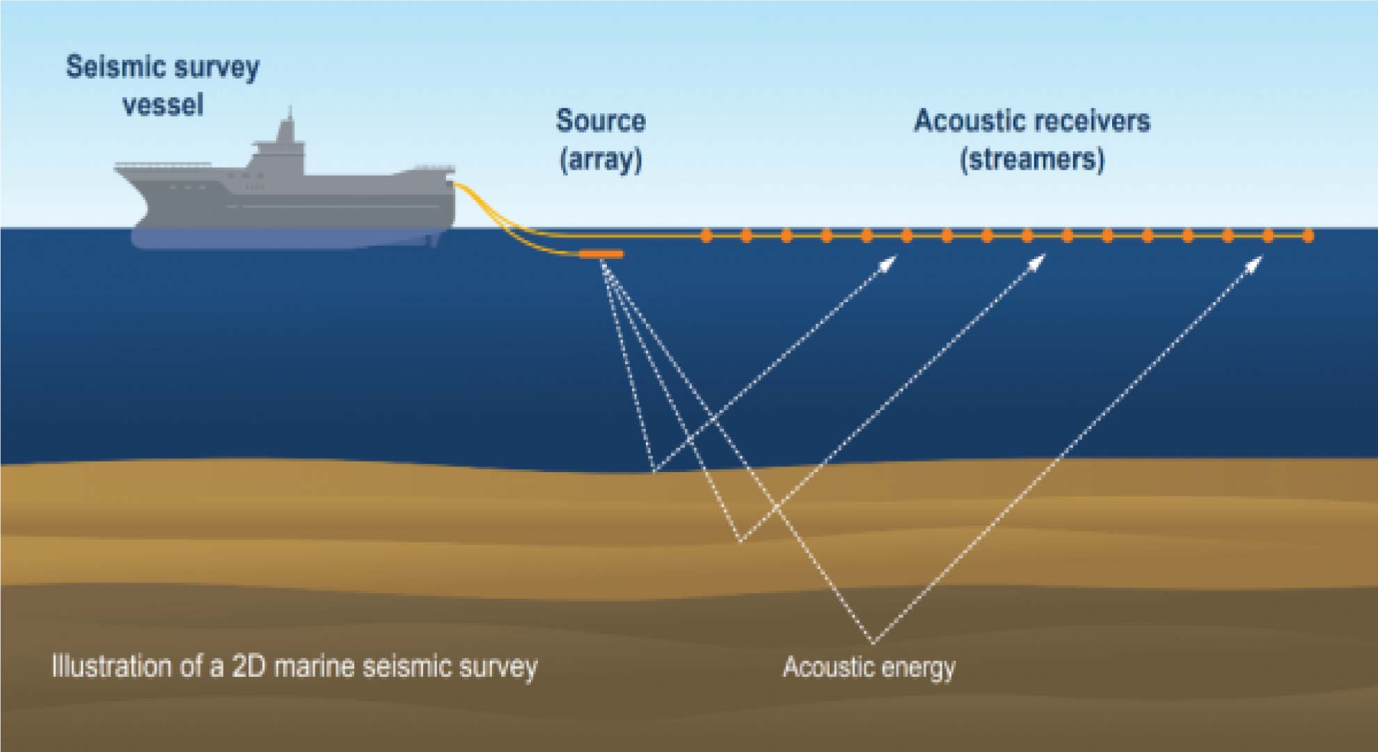
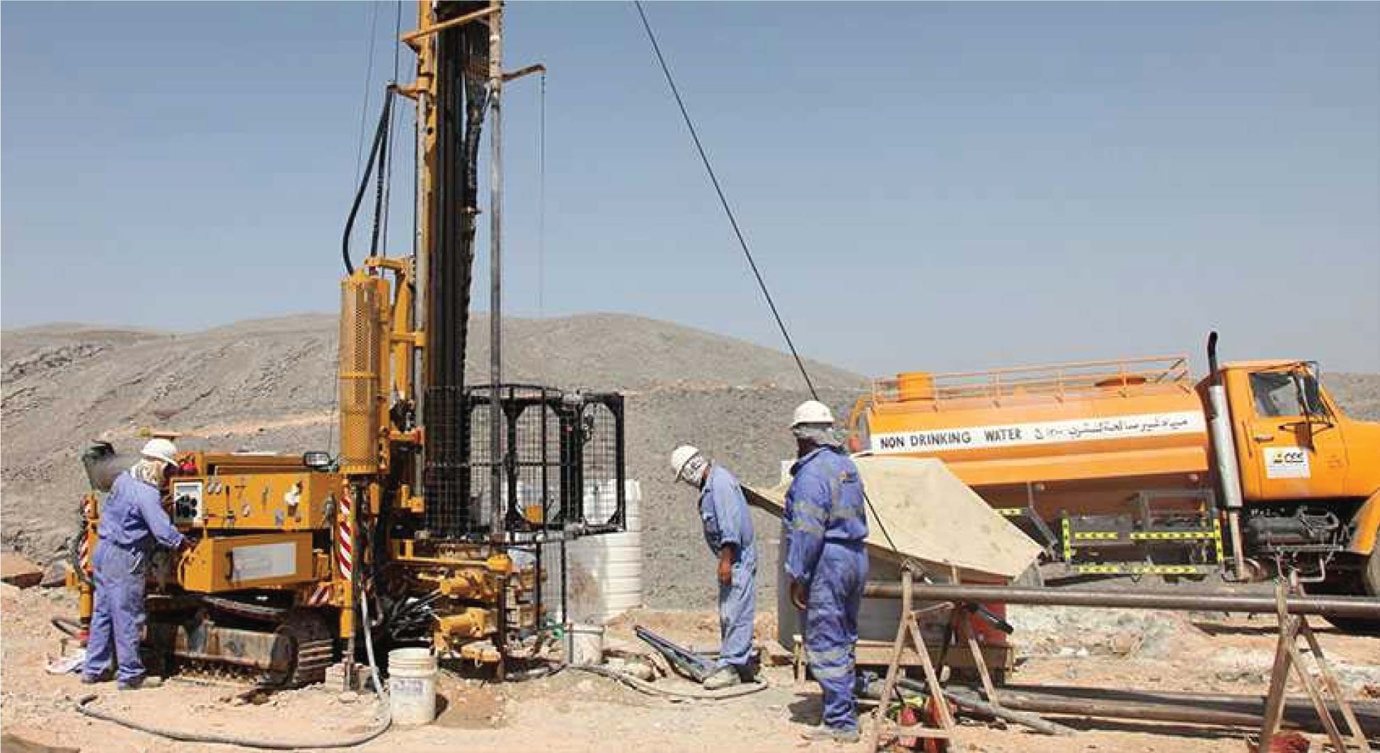
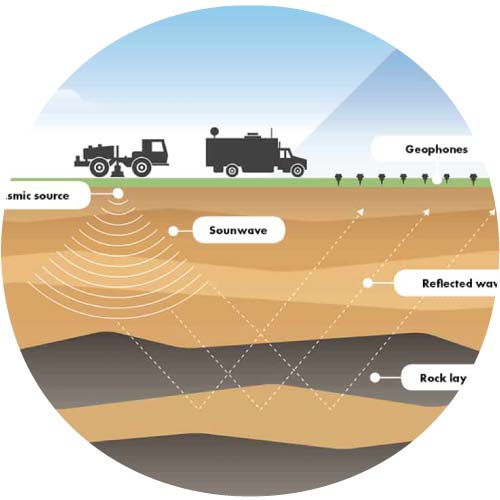
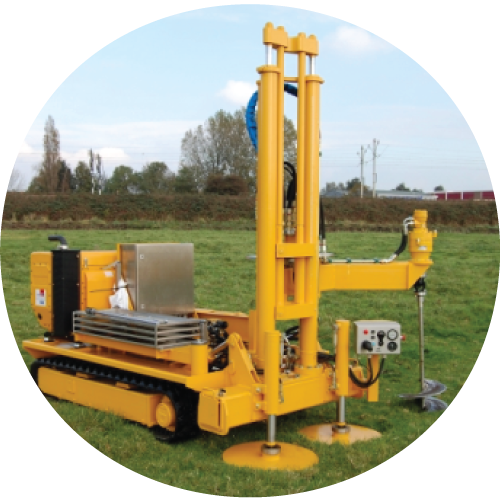
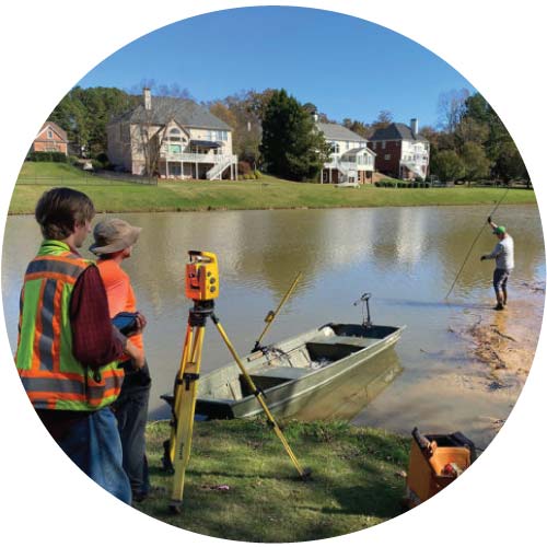
Survey & Mapping service provides you with accurate and precise mapping and surveying services. We use advanced technology to collect and analyze geographic and spatial data, which is very useful for various projects, land development, construction and administrative work. With our experienced team, high-quality equipment and the right method of surveying and mapping, you will get accurate and analytical results. We provide services to various industrial, business and government projects.
Survey & Mapping
Assessing, mapping, and evaluating land, structures, and infrastructure